Running on a moonscape. Botswana

Trail Run Magazine, (AUS/NZ.), July 2020.
Running on a moonscape | With Belles On

Written by Annabelle Latz. Photos by Xavier Briel.

Nothing could prepare me for it, and nothing will ever compare to it.

Running on a white vastness, a cloud-whispered light-blue sky above, amongst an absence of landmarks and an abundance of flat land…

Welcome to the Salt Pans Ultra Trail Marathon, Botswana’s inaugural ultramarathon stage race.

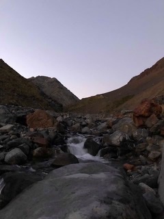
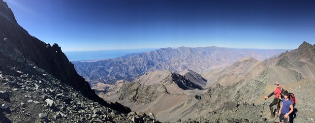
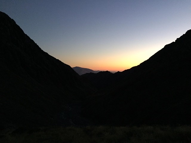
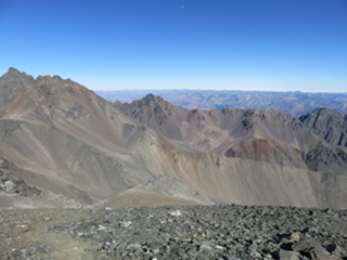
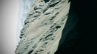
For 100km, over three days, 25 of us ran across a section of the Makgadikgadi Salt Pans. Located in Northern Botswana, this vast expanse of white, similar to the size of Switzerland, used to be a lake. Over the years, the lake has dried up as the area has gradually become drier due to seasonal change, although there are still times of the year when sections of the Pans are uncrossable.

The race village on Kukonje Island, just a couple of hours from Francistown amongst the giant baobab trees, had all the basic comforts one could wish for pre- and post-race, and, surprisingly, enough featured a small rise or two and some grasslands. But a look slightly to the left or right, and the expanse of salty ground cast our eyes into infinite.

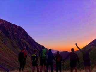
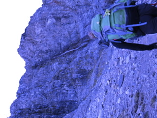
Day One was a 12km night run around Kukonje Island, a gentle introduction to this special place, where we got used to the sand, dirt, dust and occasional rock outcrop under our feet. We took off at sunset, which posed a challenge for the first part of the race, as we were nearly too awe-stricken by the light and vastness to focus on running!

Focus was essential, though; it’s surprisingly difficult to run in a straight line on these Pans. The GPS watched closely.

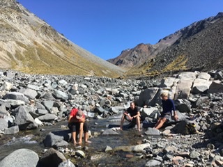
Dinner and breakfasts were provided by Botswana’s bush food extraordinaire Food Girl (Food Girl BW on Facebook), which left us wanting for nothing. With full tummies and maybe a beer from the local brewery tent, Big Sip, we headed to bed for an early start for Day Two.

Running on a moonscape | With Belles On

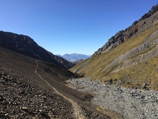
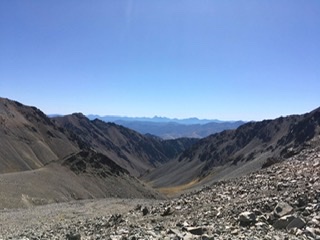
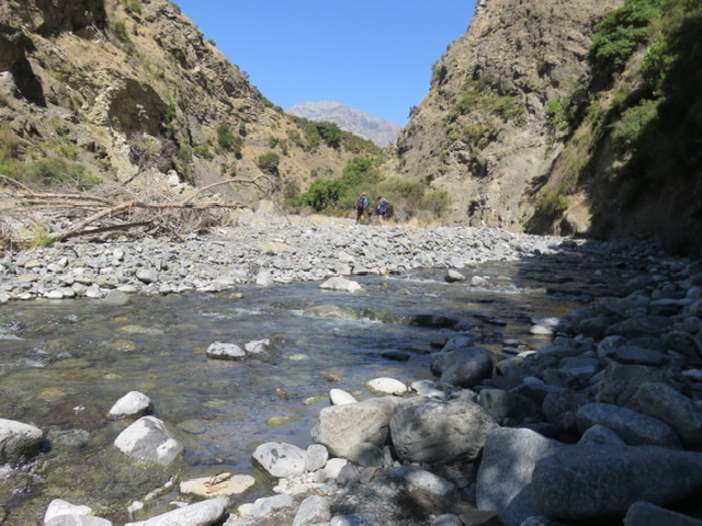
At sunrise, we were off on our 52km foot journey into the middle of the Makgadikgadi Salt Pans. The main thing to get our heads around was the vastness. It was flat as far as the eye could see. We ran in a series of straight lines, and the aid stations supplying us refreshments could be seen for several kilometres before we reached them – a mind adjustment that helped keep us sane.

I ran by myself for the majority of this 100km journey over the three days, stopping in my tracks more than once to listen. There was not a person, bird, tree or insect in sight. Just the sand at my feet, the mirage on the horizon, and infinite blue sky above. It was the closest I’ll ever feel to running on the moon.

The flags for the finish line of Day Two teased me for 10 kilometres. After what seemed forever, I reached them, happily collapsing onto an awaiting mattress under a gazebo, wholeheartedly slugging some Coke.

As time merged into the afternoon, I watched in awe as the remainder of the field reached this sweet spot in the middle of the Pans. There were smiles, happy bodies, broken bodies, crooked bodies, sore feet, and a couple of tears. There was also encouragement and respect for each other, and we were all grateful for having such excellent support crew, awesome food, drinks and snacks pre- and post-run, a medical crew, and a physio team.

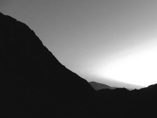
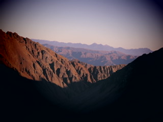
We hunkered down for the evening as the sun dipped, all taking a quiet moment to gaze into the distance, absorb the enormity of where we were, watch the herd of donkeys walking into the sunset, and feel chuffed with life. With a full tummy and a crackling fire, the hum of distant chatter and a star-studded sky, I drifted into a blissful sleep.

Day Three dawned, and after a quick but hearty breakfast of porridge and strong coffee, our GPS told us we were running in a straight 36km line back to Kukonje Island. It took a couple of kilometres for the legs to wake up, but the crunch of the salt beneath my feet and the cool pre-sunrise breeze soon became rhythmical, and it was homeward bound.

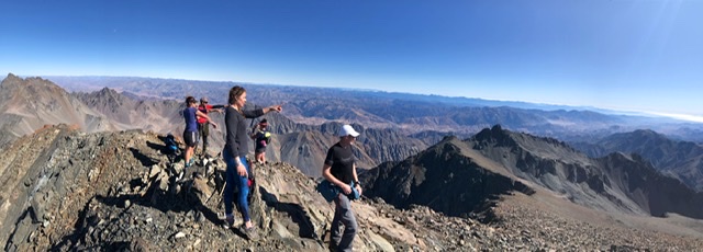
This was the toughest day; a day of mixed emotions as the Salt Pan journey was soon to be over. Thrilled to be done, but also sad it was soon to be a memory. Approaching the finish line in second place overall and second female, I took one last chance to embrace this harsh, unique environment, with its moon-like atmosphere and airy surrounds.

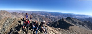
Taking a seat under the shade of a tent at the end, cold drink in hand, it was awesome to see the smiles on every person as they reached the finish line. Smiling in respect of their effort, smiling in happiness to be done, and smiling in awe for the environment they’d been lucky enough to run through for the past three days.

Running 100km across the Makgadikgadi Salt Pan. Tough? Hugely so. Humbling? Like never before. Memorable? For the rest of our lives, absolutely.

For more info head to www.saltpansultra.com

A Tappy kind of tale – ‘The foot of the rainbow.’ New Zealand.


Mt Tapuae-o-Uenuku is like your great aunt. She must be treated with respect at all times, there’s no point in arguing with her, she’s moody, she knows lots and has been around a while. And she doesn’t always give you what you want. But when you’ve had a great day together…… wow you know you’ve earned it.

 Mt Tappy as she’s fondly called, is the highest peak outside the Southern Alps, sitting at 2885m in the Inland Kaikoura Ranges of the South Island. Our dear Kiwi mate Sir Edmund Hillary claimed it as a special place, climbing it in the mid 1940s while in the RNZAF, and ultimately it was part of his training for summiting Mt Everest.

Some people make pretty short work of this peak; smashing out the 176 river crossings up and down the Hodder River, and the constant navigation of screes, technical tracks, tree root grabbing ascents and steep underfoot crumbling descents, including views to grin about, in around eight hours.

But for us mortals, it’s a great one or two night adventure. Either way, it’s one hell of a brilliant adventure.

 Reaching the summit last summer, amongst a crew of seven, involved a ‘third time lucky’ kind of happiness for me. I could put to bed the previous two failed attempts, and thoroughly enjoy the moment this summit stomp created.

 We set off at midday on the February Friday, an immaculate day. The Hodder was flowing kindly, we skipped through the 80-odd crossings with relative ease, with just a few technical navigations before reaching the scree-perched hut just before sunset. As the sun dipped and the air temperature dropped quickly, there was a chuffed vibe in the air amongst us. A sunrise departure the following day was the opening scene for a solid morning of screes, boulder hopping, constant navigation eyeing up the next rock cairn, and calculated foot placement. As we crept higher and the air thinned, the excitement built. The Richmond Ranges began to shrink in the distance, and over the other side, the Clarence River and valleys opened up, as did the  South Pacific Ocean. The top saddle was the final quick stop destination, then it was onwards and upwards, we knew what was next.

Some of the most used muscles that day were those in my face. Ok, and my brain, because you had to concentrate for every step. But upon reaching the summit, we cracked smiles on a scale that almost broke our faces in half. It’s actually impossible to describe the view from the top; mountains and valleys and ocean and rivers and.. and…. and…

We sat for a while, had lunch with the best view ever, and at a click or two past midday we headed back for the hut. Stoked to pieces. But the hard work still wasn’t over; a return journey of steep scree, big boulders, a couple of river crossings. Back at the hut late afternoon it was a mood of massive content as we sat our tired bodies and legs down, and held huge respect for the environment that was hosting us.

 The third day on the job was a return down the Hodder River and the 80-odd crossings, then a few short kilometres of farm track walking to stretch the legs out before we reached the bridge on Awatere Valley Rd where our vehicles were waiting. The brilliant weekend was topped off supremely with one of the crew’s culinary wives whipping up some pumpkin soup and fresh bread for a late lunch. It’s moments like this you think ‘I’m nailing it.’

 My first attempt in December 2013 with long time friend Bids was brought to an abrupt end two-thirds up the Hodder River, as we reached the upper gorge. Snow melt in December means high water levels, and when the gorge narrows and the force builds, there’s no joking around. The water had been high since we started, with the lowest level still knee deep, an area of the river which we learned later is ankle deep or non existent during the later summer months. Ah well, so our 5am start and our overnight adventure didn’t quite go to plan, but it was a fun and challenging 11 hour return trip on foot on the river, we learned lots, and we got back to the nearby delightful Upcot Station shearers’ quarters safe and sound for a solid rest and sleep. Because swollen rivers can’t be argued with.

Attempt number two was mid summer 2017 and delivered perfect conditions for my adventure buddy Skeets and I, we thought we’d try and bang it out in a day. Began well with a Sunday 4am start, got up the Hodder without too many dramas, reached the hut late morning, then we pressed on for the summit. But it’s mighty big country up on those screes. The rock cairns you follow carefully, but they can be few and far between when you start to get into the thinner air and for every step forward is two back with the scramble of tiny rocks underneath. Long story short, we navigated the wrong gully, subsequently adding another couple of hours onto our summit attempt. The heartbreak kicked in at the saddle which was not much more than a skip and a hop from the summit – we were out of water and had minimal food, and the option to push on was not really there; a quick bit of maths had us with a result that we would have been about three hours without water (back down to the nearest waterfall). As for the food, yes well not ideal because we needed to keep some for the hike home. In these mountains when you’re knocking on the door of 3000m elevation, there’s no room for risk, and fuel is key. We turned back for the hut for an unplanned night, arriving there around 10pm. Happy to have our survival blankets and a few extra layers on board, and a smile still on our faces and a twinkle in our eyes because afterall this was one mighty adventure. An early start the following morning for a six hour hike down the river. Ah well, still not a bad effort, win some lose some. And still managed to get back to work for early afternoon on the Monday, and a pretty good story for the late arrival….

 So the greatly respected ‘great Aunt’ of Mount Tapuae-o-Uenuku has finally received its summit tick. But I think I’ll be back for another visit.

 According to www.theprow.org.nz, Mount Tapuae-o-Uenuku, is the sacred mountain of the Kurahaupo tribes of Marlborough, stories of its origins dating back to AD825 when two chiefs, Makautere and Tapuae-o-Uenuku, were searching for food-gathering places along the Kaikoura coast and inland.  The Waiau-Toa and Waiau-Uwha Rivers reminded Tapuae-o-Uenuku of the tears of his wife, left behind in Hawaiki. The mountain near where the two rivers meet during the spring thaw bears the chief’s name.

 Marlborough’s Rangitane also have a tradition that an earthly chief sought his spiritual wife and child by climbing up to heaven via the rainbow of their ancestor, Uenuku, a tribal war god. Nga Tapu Wae O Uenuku are ‘the sacred steps of Uenuku’.